The western Cohuttas
The Country
Sherpa Camp sits on the headwaters of Holly Creek at the western edge of the Cohutta Wilderness, at about 1,800 feet with 4,000-foot ridges above it. The cabin is the smallest part of the proposition. What follows is what surrounds it.
Take the map with you. Confirm road and trail conditions before you set out, and ask us if you are unsure. Conditions in this country change faster than the internet reports them.
No. 1 — Within reach
Six ways into the country.
- 01
The Cohutta Wilderness. Roughly 37,000 acres, the largest designated wilderness east of the Mississippi. No roads, no motors, and long stretches of solitude on a weekday.
- 02
The Pinhoti Trail. Backcountry singletrack that riders cross several states for, with Bear Creek, Mountaintown, and Mulberry Gap in the same corridor.
- 03
Lake Conasauga. Georgia's highest lake at about 3,150 feet, dug by hand by the CCC and finished in 1940, at the top of the road the camp is named for.
- 04
Fort Mountain State Park. An 855-foot wall of loose stone near the summit that nobody has satisfactorily explained, plus overlooks, a small lake, and forgiving trails.
- 05
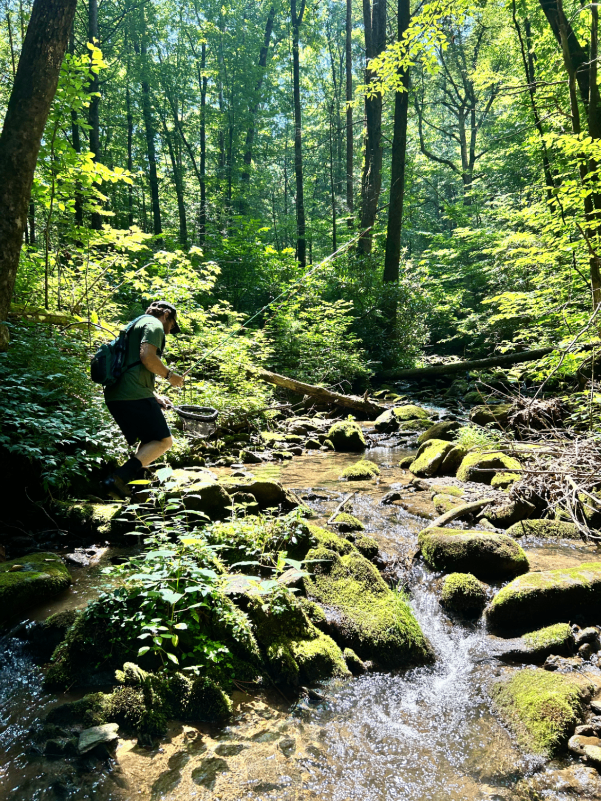
Holly Creek. Wild trout, cold water, and a creek that runs a few feet from the cabin year-round.
- 06
Chatsworth. The town below, your last stop for groceries and gas, and the gateway to this side of the mountain.
The region
Where the cabin sits.
Related field notes
Read the road, creek, trail, and weather.
Come along.
Stay for a few days, learn the road, and leave enough daylight to cross the bridge before dark.
Availability, pricing, reviews, and reservations are currently managed through Airbnb.