Field note
Lake Conasauga: The Highest Water in Georgia
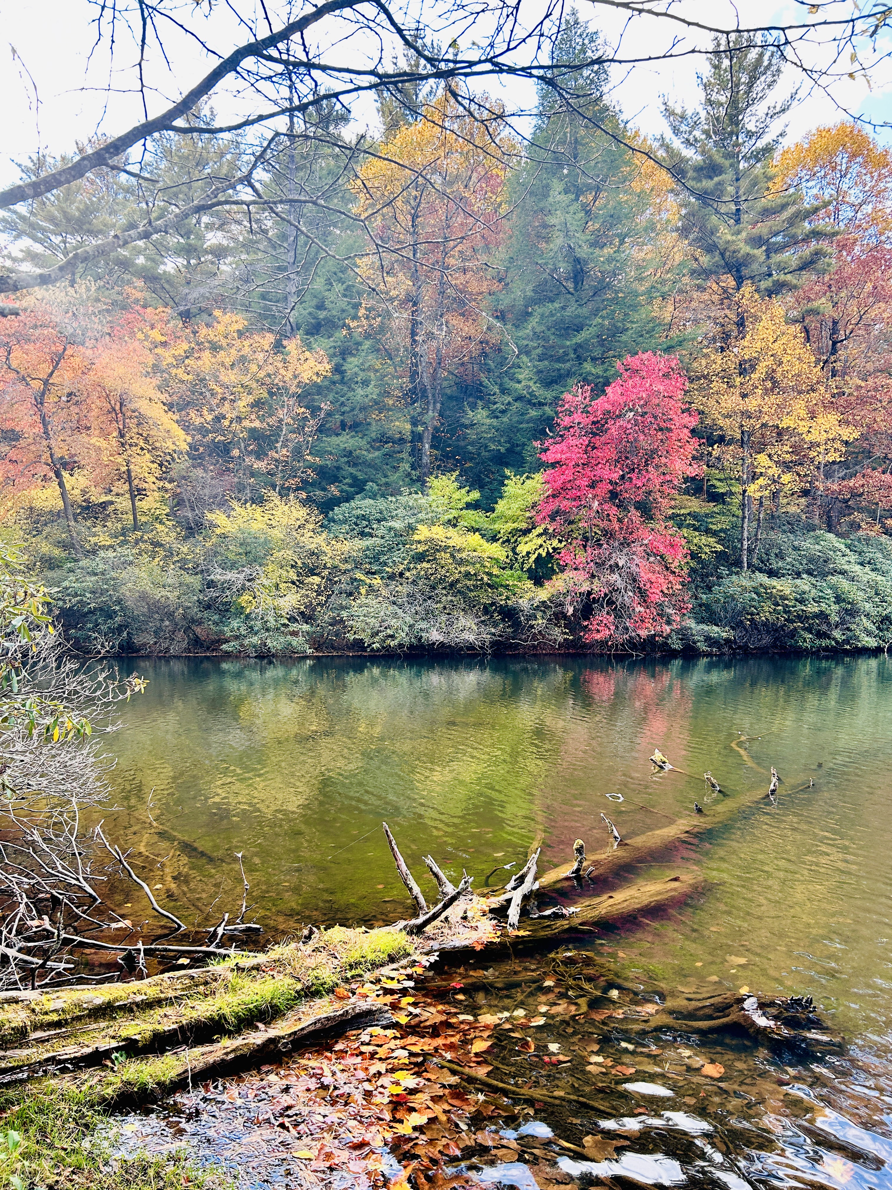
The road that brings you to camp does not end at camp. It gives up its pavement, takes the name CCC Camp Road, and keeps climbing into the national forest, and if you follow it far enough up the mountain you arrive at something that should not exist. A lake near the top of Grassy Mountain. The highest lake in Georgia, sitting at about 3,150 feet.
Mountains in Georgia do not come with lakes on top. This one is here because in the late 1930s the Civilian Conservation Corps put a camp in this valley, the camp that gave our road its name, and sent crews up the mountain to dam a cold spring-fed creek near the summit. They finished the work by hand in 1940. Depression-era men with shovels and wheelbarrows built a lake on a mountaintop so that, eighty-six years later, your kids could swim in it. It is worth sitting with that on the drive up. Somebody made this for people he would never meet.
What you find at the top. Cold, clear water ringed in hemlock and rhododendron, a small swimming beach, picnic tables under old trees, and a Forest Service campground that fills up on summer weekends. The lake is spring-fed and stays bracing straight through August, which is either a warning or the main attraction, depending on the child. The Songbird Trail makes an easy, nearly flat loop from the lake through a beaver-pond bottom that is one of the better birding walks in the Cohuttas, and it is exactly the right length for legs that gave their best effort in the water an hour earlier.
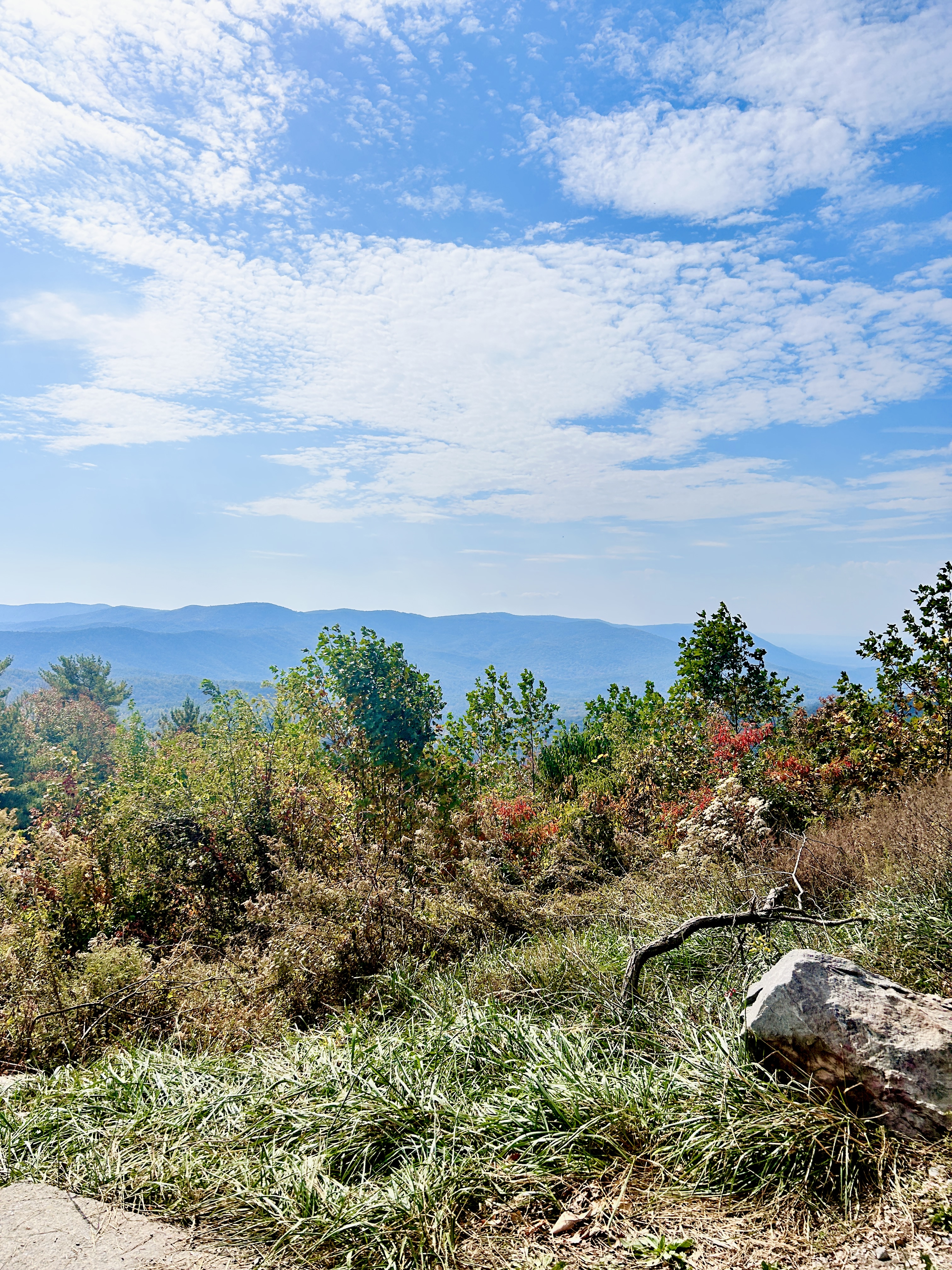
The fire tower. From the lake area a trail climbs to the old fire tower on the summit of Grassy Mountain, and the clearing there opens onto a long view across the Cohutta Wilderness, ridge behind ridge until the blue runs out. In late July and August, wild blueberries ripen along the upper stretch of the trail, and progress slows accordingly. Budget for it.
Practical notes. The drive from camp is forest road the whole way, gravel, fine for most vehicles in dry weather, and slower than the mileage suggests, which is the correct speed for that road anyway. Call it [X] minutes. Bring a picnic and water shoes. Check the Forest Service page before a winter trip, because the high roads close seasonally, and the mountain does not announce this on a sign at the bottom. If you stay past dusk, drive down slowly. Deer own the road after dark, and owls run the toll booths.
Or skip the night drive and be back at camp by supper, which is what we would do. The stars over the fire pit are nearly as good as the stars over the lake, and the hot chocolate is considerably closer.
The larger point of Lake Conasauga, for a guest at camp, is what it says about where you are staying. This is the country the cabin sits in. The same waters, the same CCC ghosts, the same forest running unbroken from your porch to that summit. An afternoon up there costs a tank of nothing and a cooler of sandwiches, and it ends with everyone asleep by nine, which seasoned parents will recognize as the actual amenity.
Ask us before you go. We will tell you the current state of the road, where to park when the campground lot fills, and whether the blueberries are in.