Mulberry Gap is not just a lodge. It is the trailhead culture hub where route planning happens, where maps are real, and where the Bear Creek–Pinhoti system becomes navigable.
The moment you leave pavement and turn onto the forest road toward Mulberry Gap, the world changes. The road narrows. The trees close in. The cell service drops. You are no longer in Ellijay. You are in the backcountry, and Mulberry Gap is the hub where riders gather to plan routes, compare notes, and understand the system.
Mulberry Gap sits at 400 Mulberry Gap Road in Ellijay, and it is more than a lodge. It is a trailhead culture hub where the staff understands the Bear Creek–Pinhoti system the way locals understand their own neighborhood. They offer route-planning help. They have paper maps with cue sheets printed on them. They export GPX routes that you can load into your device. They know which trails are rideable in current conditions, which water crossings are high, and which routes make sense for your skill level and time.
The flagship rides from Mulberry Gap include the 9.5-mile Pinhoti 2 route, the 18.5-mile Bearhoti (a combination of Bear Creek and Pinhoti sections), and the 32-mile Mountaintown Loop for riders who want a full day in the saddle. The broader Bear Creek–Pinhoti system includes about 35 trails and roughly 60 miles of trail. This is not a single-loop destination. This is a system large enough to justify real trip planning.
The system is shuttleable, which means you can arrange a car shuttle and ride downhill for most of the day. This is where the system becomes valuable for a full trip. You can ride the Pinhoti 2 in the morning, shuttle back, and ride a different section in the afternoon. You can combine Bear Creek with Pinhoti sections and create a day that feels like a full expedition even though you are only 30 miles from pavement.
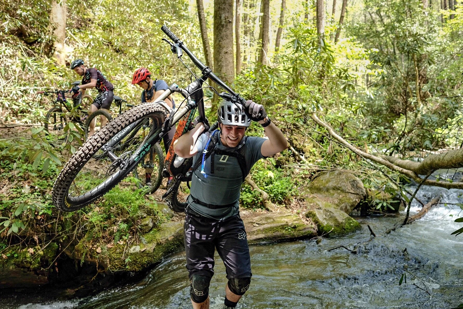
The Bear Creek–Pinhoti system is not machine-built flow country. This is remote North Georgia backcountry where route choice matters. The trails follow the contour of the land. The water is cold year-round. The forest is old-growth hemlock and rhododendron in the coves, with oak and hickory on the ridges. The remoteness is real.
Mulberry Gap's mid-December to mid-February closure is important to note. The staff closes the property during the winter months, which means you need to confirm current conditions before committing to a full day. Call ahead. Check the website. Understand that this is not a year-round destination. This is a place you visit when the season is right.
Mulberry Gap is the logical launch point because the staff there understands the system. They have the maps. They have the routes. They have the knowledge. They are not trying to sell you anything beyond the ride itself. They are trying to help you understand the landscape and navigate it safely.